The Krakatau eruption
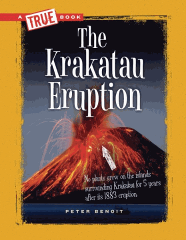
Photographs, maps, time lines, and easy-to-follow text describe the events surrounding the 1883 eruption of Mount Krakatau.
Children's Press
2011
9780329864729
book
Lexile:
950
Holdings
| hid | mid | miid | nid | wid | location_code | location | barcode | callnum | dewey | created | updated |
|---|---|---|---|---|---|---|---|---|---|---|---|
| 677228 | 4422963 | 2307 | 66228 | 112661 | FAJA | 175 | FAJA700707 | 551.2 BEN | 551.2 | 1579893772 | 1736518457 |
| 790161 | 4527371 | 2322 | 66228 | 112661 | PIAC | 380 | PIAC73587 | 551.2 BEN | 551.2 | 1579893772 | 1736518457 |
| 2040192 | 5617754 | 2230 | 66228 | 112661 | GRPB | 247 | GRPB717347 | 551.21 BEN | 551.21 | 1582575937 | 1709307855 |
| 2531296 | 6044601 | 2425 | 66228 | 112661 | VCI | 432 | VCI0153413 | 551.21 BEN | 551.21 | 1637782573 | 1736800991 |
| 3178109 | 6609826 | 1569 | 66228 | 112661 | 19 | 149 | T 1921605 | 551.21 BEN | 551.21 | 1640729255 | 1640729255 |
| 3260085 | 6667350 | 1575 | 66228 | 112661 | 33 | 98 | T 3300441 | 551.21 BEN | 551.21 | 1640729255 | 1640729255 |