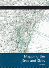
Mapping the seas and skies
Describes the methods used by navigators. Covers portolan charts, mercator maps, ocean depth and current charts, harbor charts, aeronautical charts, and mapping tools.
Heinemann Library
2007
9781403468000
book
Holdings
| hid | mid | miid | nid | wid | location_code | location | barcode | callnum | dewey | created | updated |
|---|---|---|---|---|---|---|---|---|---|---|---|
| 2785291 | 6272569 | 2386 | 338445 | 478366 | GEI | 228 | GVN0085019 | 551.46 DEB | 551.46 | 1637782573 | 1736800991 |

