Describes the methods used by navigators. Covers portolan charts, mercator maps, ocean depth and current charts, harbor charts, aeronautical charts, and mapping tools.
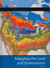
An introduction to the study of physical maps that focus on the natural surface features of the Earth, including weather and climate, geological changes, soil and vegetation, and biomes.
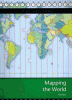
An introduction to map reading that focuses on where and how people live in the world, discussing political, time zone, thematic, and historical maps. Includes related activity.